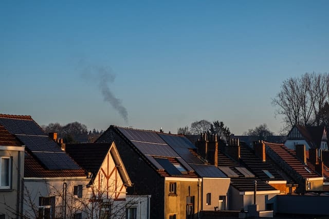
Google’s new sustainability software estimates solar, pollution and pollen production
In 2015, Google launched Project Sunroof, a Maps layer that combines location, sunlight, and navigation data to show how much energy solar panels installed on a home’s roof may generate –Google mapped it out for virtually every house on the planet!
Google has recently released various new sustainability APIs that leverage Google’s AI ambitions to provide developers with real-time solar potential, air quality, and pollen level information. This will work towards the ambition to help individuals, cities, and partners collectively reduce 1 gigaton of their carbon equivalent emissions annually by 2030.
The Solar software builds directly from Project Sunroof’s original work, using modern maps and more advanced computing. The software will cover 320 million buildings in 40 countries.
The team at Google trained an AI model to extract the precise angles and slopes of a rooftop just from the overhead satellite or aerial photograph, along with shade estimates of nearby trees, and combines that with historical weather data and current energy pricing. Giving installation companies and homeowners alike a more holistic estimate of how much their solar-specific panels could produce without having to physically send out a technician to site.
Google aims for the software to take current traffic conditions and vehicle volume into account to better predict what pollutants will be predominant. The software will also evolve in the future to track the seasonal release of pollen and tree semen in more than 65 countries, incorporating local wind patterns and annual trends, providing users with local pollen count data, detailed allergen information, and heatmaps of where sneezing will be worst.
An innovative time for Google API’s! Developers will have access to the apps from August 29th.


